Current Temp. 52°


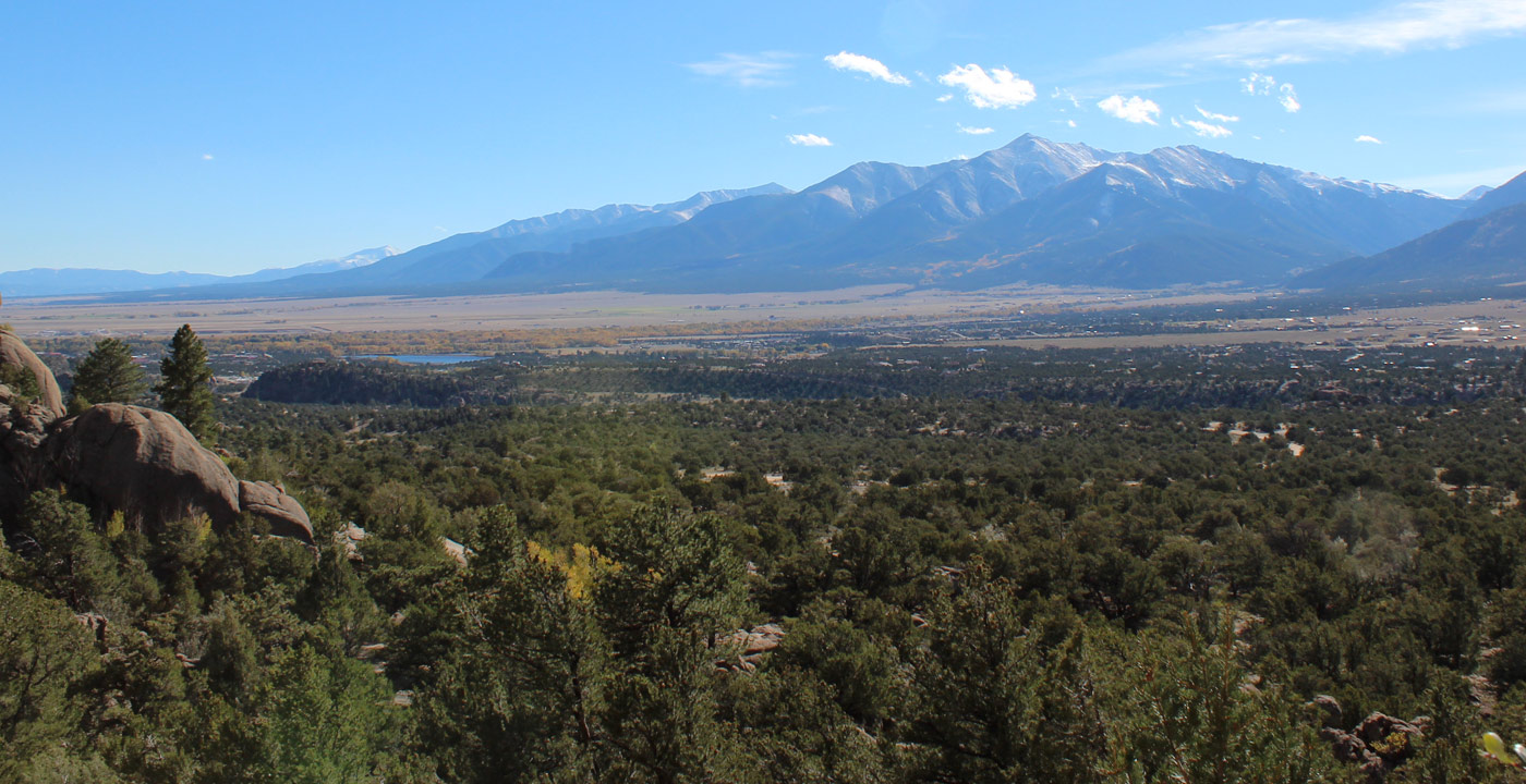
Poncha Pass is an excellent road biking route that provides mountain scenery, a strong workout, and perhaps most importantly, a decent-sized shoulder throughout the highway. Starting in Poncha Springs (7,518’), Highway 285 ascends for 7.5 miles and finishes at Poncha Pass (9,010’), the divide between the watershed systems of the Rio Grande and Arkansas River.
During your ride, you’ll pass remnants of old mining areas and the Rainbow Trail, and enjoy some great views of Mt. Ouray. Starting in Poncha Springs (7,518’), Highway 285 ascends for 7.5 miles and finishes at Poncha Pass (9,010’), the divide between the watersheds systems of the Rio Grande and Arkansas River. Enjoy the speedy ride you’ve earned by gliding back to Poncha Springs and/or Salida, or if you’re feeling ambitious, continue riding on the other side to Villa Grove, where there are services for food and rest, then ascend the south side of the pass to return.
TIP: If you’re beginning in Salida, the busyness of Highway 50 can be avoided by traveling west on either County Road 140 or County Road 120 toward Poncha Springs.
Get Deals, Discounts, Information and more, in your inbox!